


Subscribe To

 Posts
All Comments
Posts
All Comments
Tuesday, June 19, 2007


Monday, June 18, 2007
Fair Isle

We stayed a couple of nights, walked around, had a meal at the hostel - the island is owned by the National Trust and more or less run as a nature reserve. They have wind generators but a lot of power is shipped in in diesel tanks.
Fair Isle

There is only 1 harbour on Fair Isle - it is difficult to see the entrance when approaching from the South, it was dark and windy when we arrived, this is the morning after, fortunately the directional light which shows the way in is left on all the time. The locals were friendly and a gentleman called Barry took our lines and got a couple of large fenders to keep us off the wall.
Sunday, June 17, 2007

Papa Stronsay

It was still blowing NE after a few days so we moved round to Whitehouse in Stronsay, where we anchored between Stronsay and Papa Stronsay. This is Papa Stronsay, supposed to be one of the holiest islands, occupied by Transalpine Redemptorist monks (who, it seems used to be based on the Isle of Sheppey, near by Kaemara's home port) .
Saturday, June 16, 2007


orkney
Tough passage up the North Sea - 740 miles logged between Harwich and Kirkwall - beating the whole way up the North Sea, always overcast, occasional rain and fog, cold. We stopped for a couple of days on the Humber to take a rest, before pushing on.
The Orkney Isles are beautiful with many good walks and lots of ancient sites. There is plenty to do here to while away the hours whilst waiting for a change in the weather. We decided that the hard work was over when we got here and that from now on we'd be cruising, i.e. not beating into a Northerly force 5 or 6, which is what's on offer today, our next stop should be Fair Isle, en-route to Shetland.
The Orkney Isles are beautiful with many good walks and lots of ancient sites. There is plenty to do here to while away the hours whilst waiting for a change in the weather. We decided that the hard work was over when we got here and that from now on we'd be cruising, i.e. not beating into a Northerly force 5 or 6, which is what's on offer today, our next stop should be Fair Isle, en-route to Shetland.
Monday, March 12, 2007
new season
Refit is well under way, have a brand new rudder to install, chainplates out for re-bedding, windlass off for same, fuel tank back in after a modification to the inspection hatch, engine has a new alternator, have wired the navtex to the solar cell regulator so its 'always on'. Time to start thinking about this year's trip. Bought the charts for the Shetland Islands last year in case we came back that way - current plan for this summer is to go to the Shetlands then round to the west coast of Scotland, to leave the boat there over the winter.
Thursday, December 21, 2006
rudder pix
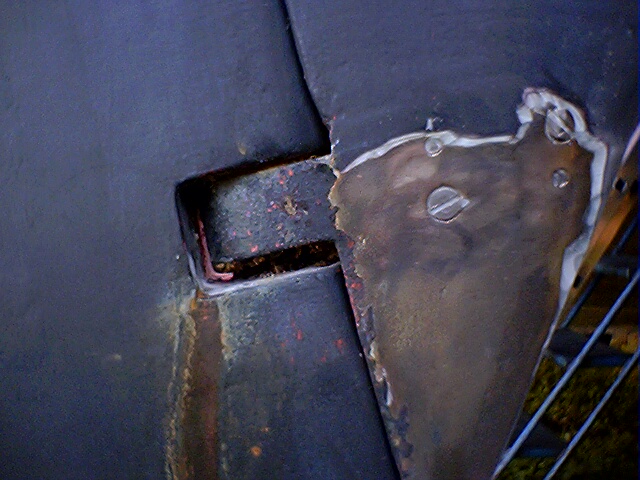
 these pictures were for the shipwright who is making me a new rudder - had stripped the rudder down to clear out old, waterlogged, foam and then rebuilt it with new foam, but water got in again, and this time there was rust coming out, so went for a new one.



Monday, August 07, 2006
Norway trip
I had a look around for photo publishing sites but didn't like the terms, so here we are. Thanks, blogspot, for providing this service. This website is probably best viewed from the bottom up.
My employers agreed to let me take all my leave in one chunk and to tag on a few weeks unpaid. This gave me enough time to sail to Norway and cruise around a bit without rushing. Had a wonderful time.
Norway is a perfect place to cruise in a sailing boat. I spent about 6 weeks on the southern end of the west coast, between Egersund and Bulandet. This area features many off-lying islands which offer protection from the open sea, often it's as if one is sailing on a lake. The scenery is spectacular and the people are really nice and friendly.
----- some notes about the sailing ----
When I was planning this trip and first started looking at the charts I was astonished and somewhat concerned by the coastline. There are so many islands and fjords, it looks like a smashed plate that has gone into a million pieces. I thought I'd be in danger of losing track of where I was (I expected to be on my own for much of the time). In fact navigation, when the weather is clear, couldn't be easier as one is surrounded by land marks. There is a system of ancient and superbly situated navigational marks, varde, rather like one gets in the mountains, that remove all ambiguity about one's position, so navigation is by eye-ball and the gps can have a holiday. Of course, if the visibility closes down and the wind kicks up then it is a different story when knowing that one is surrounded by rocks and other hazards can be stressful.
The water is mostly too deep for the depth sounder to find the bottom. I took an extra hundred metres of anchor warp in case we had to anchor in deep water. In fact one hardly ever has to anchor in these waters unless one wants to. Every settlement has quayside and the tides are often negligible, so tying up alongside is easy. We only anchored a few times, and then in not more than 11 metres. Having said that, I'm used to anchoring in 5 metres or less and found that my 'foot on the chain' braking technique didn't slow the chain down as it went out, but gave me a good bruise. We use a 'delta' type anchor which held well except when the bottom was awful with kelp, when I doubt anything would have held properly.
We left in June. This is early in the season for Norweigans, when one has most of the harbours to oneself. The popular places can get busy in July. But there are countless fine places to go and it is easy to be alone. We only went to places that had been recommended by local people (we found that if we looked at the chart in the cockpit when in harbour then often someone would come and give us some advice).
The north sea can be nasty. We checked the weather before departure on http://www.wetterzentrale.de - this website hasn't let me down yet and we had a good crossing each way. Or perhaps we've got a lucky boat: one of the first things people seem to ask is whether anything broke down. Apart from a battery dying on the return trip (not a problem we have 2) everything worked.
--------------------------
There are probably too many pictures here and there may be some spelling and other innaccuracies - I'll come back and edit it down another time.
its a blog and is in reverse chronological order - start from the beginning!
My employers agreed to let me take all my leave in one chunk and to tag on a few weeks unpaid. This gave me enough time to sail to Norway and cruise around a bit without rushing. Had a wonderful time.
Norway is a perfect place to cruise in a sailing boat. I spent about 6 weeks on the southern end of the west coast, between Egersund and Bulandet. This area features many off-lying islands which offer protection from the open sea, often it's as if one is sailing on a lake. The scenery is spectacular and the people are really nice and friendly.
----- some notes about the sailing ----
When I was planning this trip and first started looking at the charts I was astonished and somewhat concerned by the coastline. There are so many islands and fjords, it looks like a smashed plate that has gone into a million pieces. I thought I'd be in danger of losing track of where I was (I expected to be on my own for much of the time). In fact navigation, when the weather is clear, couldn't be easier as one is surrounded by land marks. There is a system of ancient and superbly situated navigational marks, varde, rather like one gets in the mountains, that remove all ambiguity about one's position, so navigation is by eye-ball and the gps can have a holiday. Of course, if the visibility closes down and the wind kicks up then it is a different story when knowing that one is surrounded by rocks and other hazards can be stressful.
The water is mostly too deep for the depth sounder to find the bottom. I took an extra hundred metres of anchor warp in case we had to anchor in deep water. In fact one hardly ever has to anchor in these waters unless one wants to. Every settlement has quayside and the tides are often negligible, so tying up alongside is easy. We only anchored a few times, and then in not more than 11 metres. Having said that, I'm used to anchoring in 5 metres or less and found that my 'foot on the chain' braking technique didn't slow the chain down as it went out, but gave me a good bruise. We use a 'delta' type anchor which held well except when the bottom was awful with kelp, when I doubt anything would have held properly.
We left in June. This is early in the season for Norweigans, when one has most of the harbours to oneself. The popular places can get busy in July. But there are countless fine places to go and it is easy to be alone. We only went to places that had been recommended by local people (we found that if we looked at the chart in the cockpit when in harbour then often someone would come and give us some advice).
The north sea can be nasty. We checked the weather before departure on http://www.wetterzentrale.de - this website hasn't let me down yet and we had a good crossing each way. Or perhaps we've got a lucky boat: one of the first things people seem to ask is whether anything broke down. Apart from a battery dying on the return trip (not a problem we have 2) everything worked.
--------------------------
There are probably too many pictures here and there may be some spelling and other innaccuracies - I'll come back and edit it down another time.
its a blog and is in reverse chronological order - start from the beginning!
east coast
 had a thunderstorm on the last night, but it cleared up in the daytime, here we are off the Deben, if you look very closely you might see the east coast of england (it is low lying!) above the opaque water. big tides, strong currents, mud banks, shallow water, expensive marinas: home again.
journey home
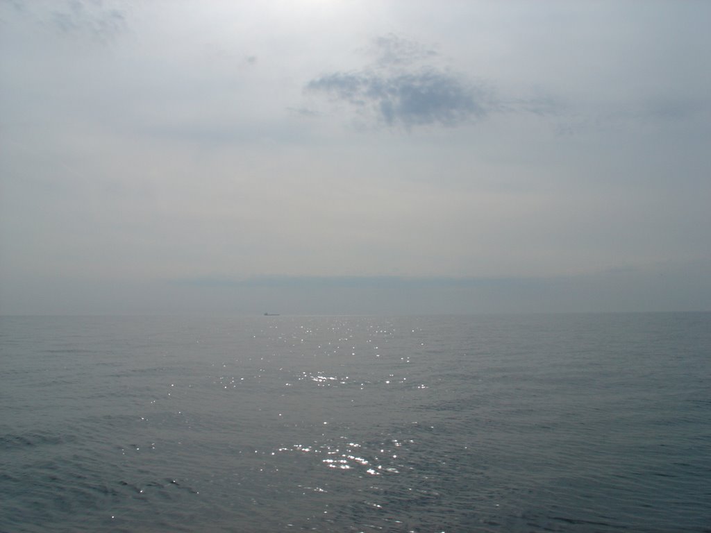 slack pressure over the north sea, another no or low wind crossing, had to motor a lot, we were lucky that when there was some wind we could make the course close-hauled, ended up doing 37 hours of motoring over 4 1/2 days.
stavanger
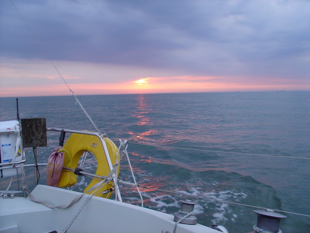
 biggest cranes i've ever seen. Norweigan ship builders have now mostly switched to supporting the oil industry. Stavanger has a good museum devoted to the history of oil exploration in Norway. One gets an insight into the tough life lived on board the rigs in the north sea. Having sailed past the rigs and their associated support ships it was interesting to find out more about them.

Lysefjord
 to get an idea of the scale of this, those are 20 foot high trees, a small cruise ship is probably about [--] long
Subscribe to:
Posts (Atom)